|
(COURTESY OF GOOGLE EARTH). |
|
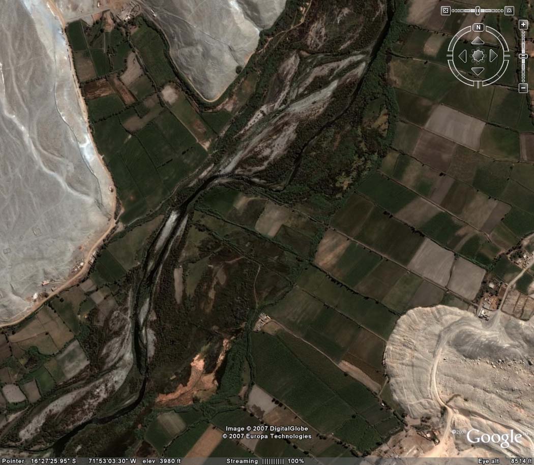
| Aerial view of the Vitor valley, showing front of Pie de Cuesta failure on the bottom right. |
|
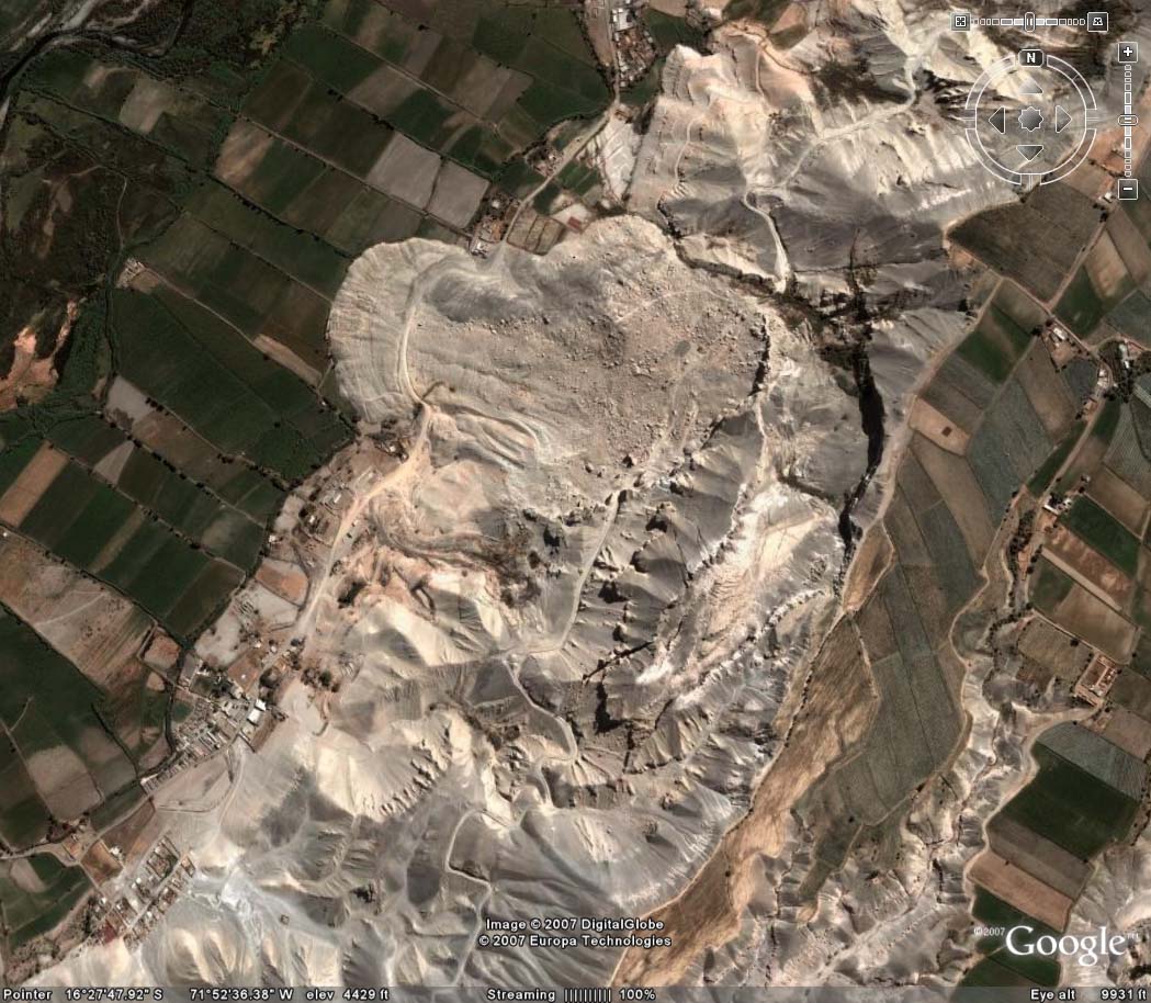
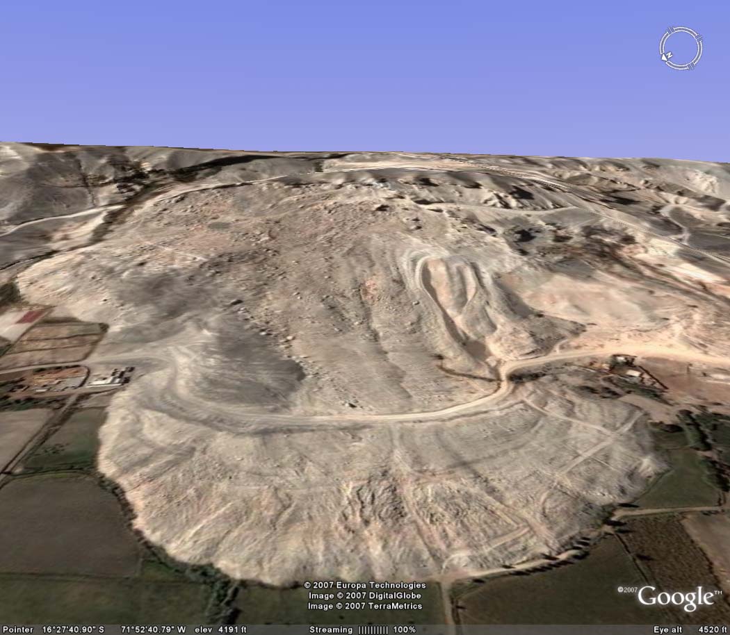
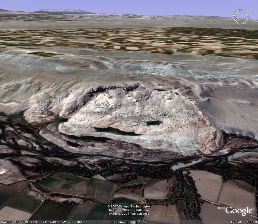
| Aerial view of entire Pie de Cuesta failure, with La Joya fields on bottom right. |
|
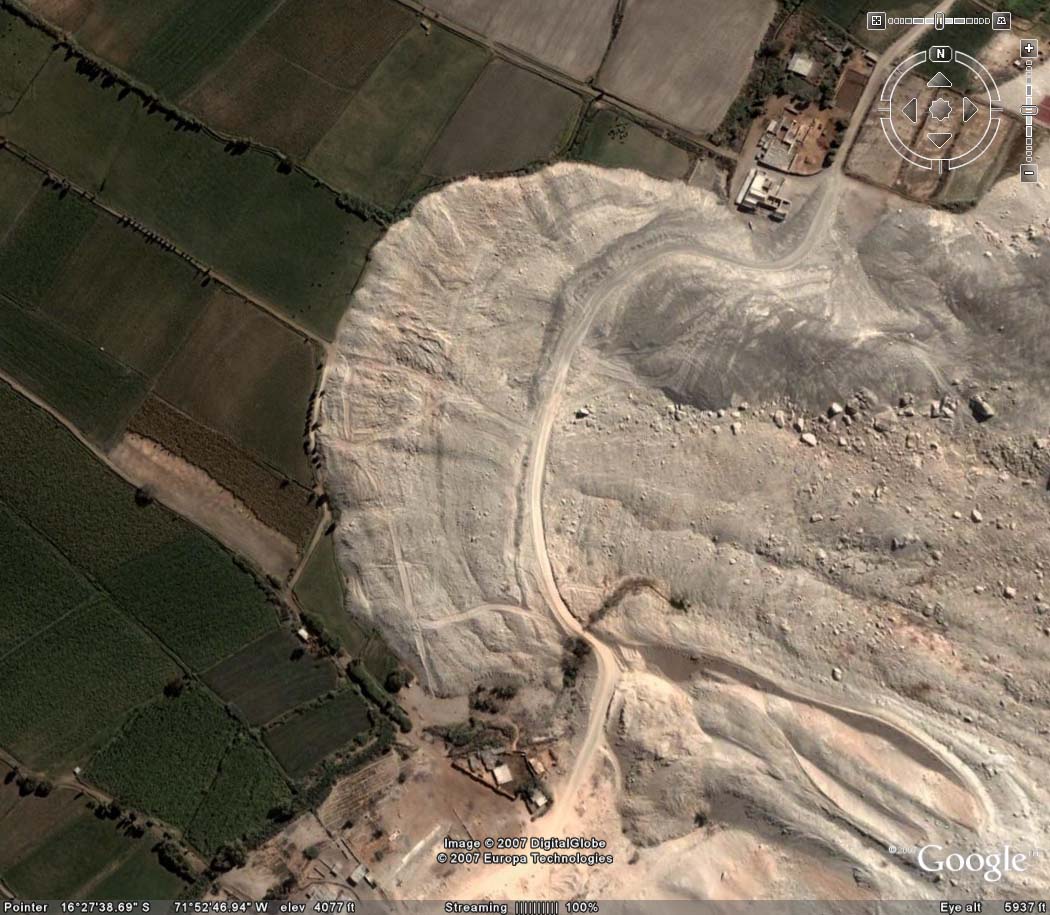
| Detail of front of Pie de Cuesta failure. |
|
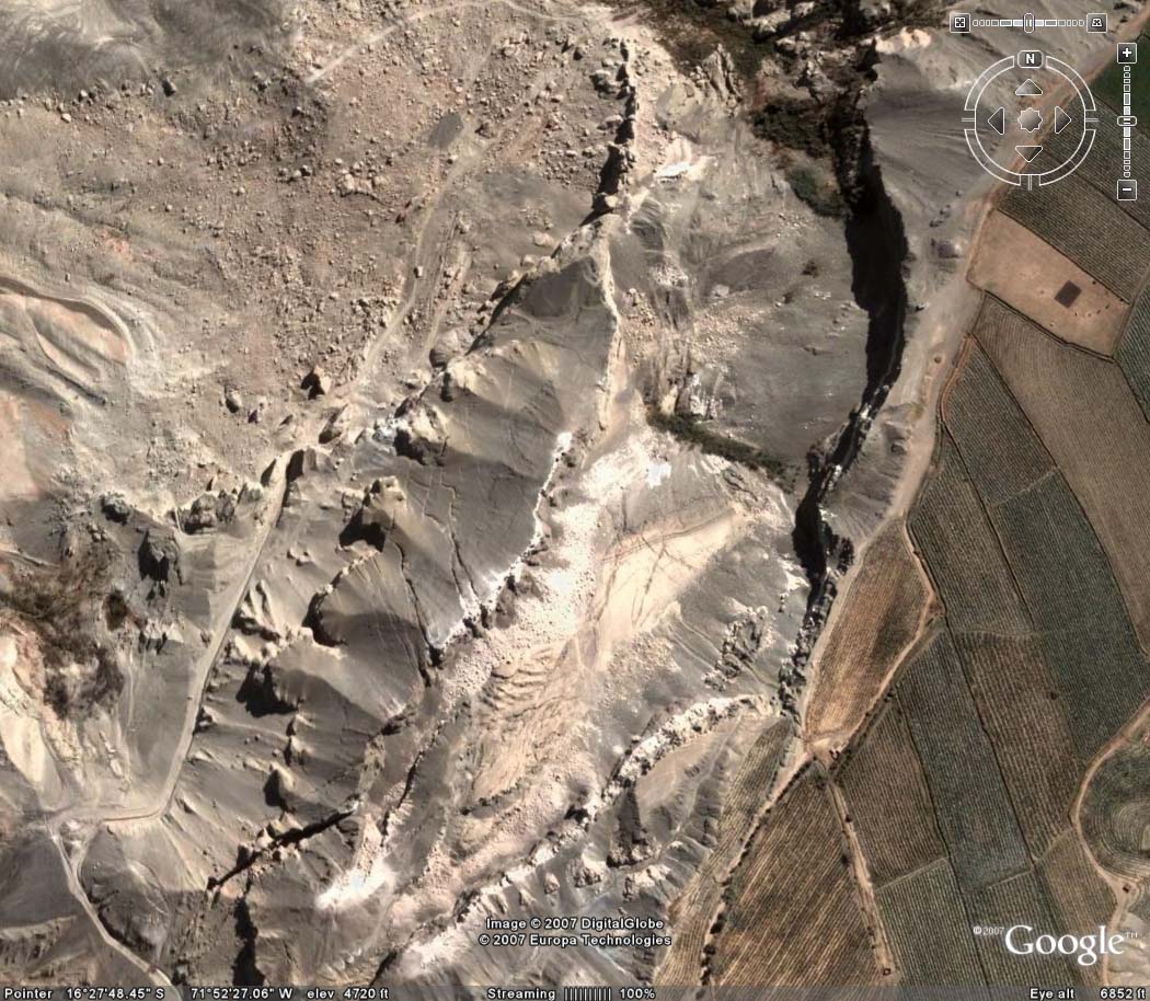
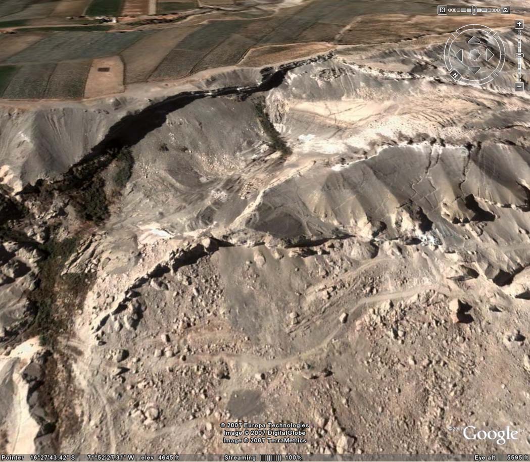
| Detail of the rear of Pie de Cuesta failure. |
|
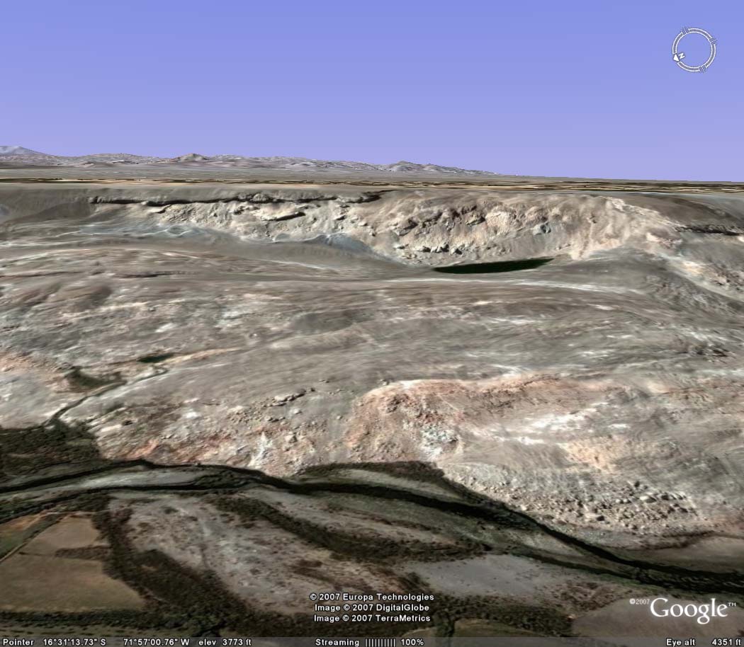
| Panoramic view of front of Pie de Cuesta failure, with La Joya fields on the horizon. |
|
| Panoramic view of middle and back of Pie de Cuesta failure. |
|
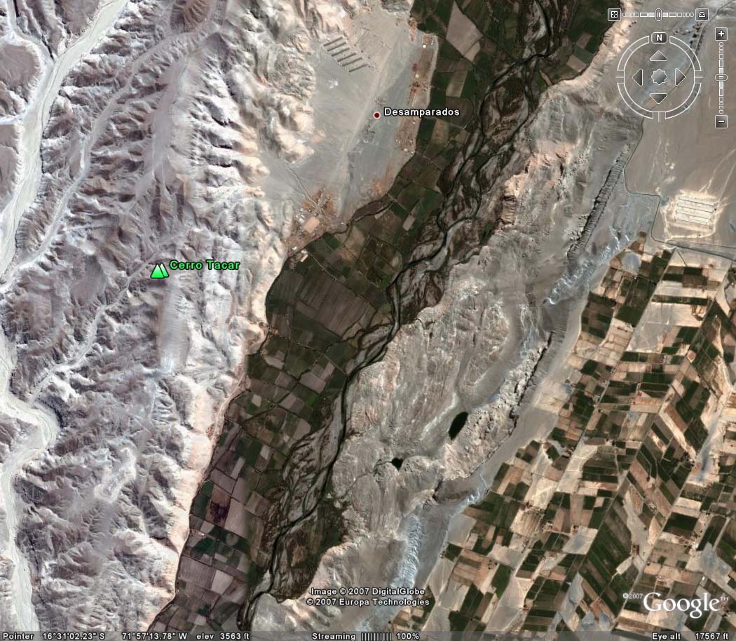
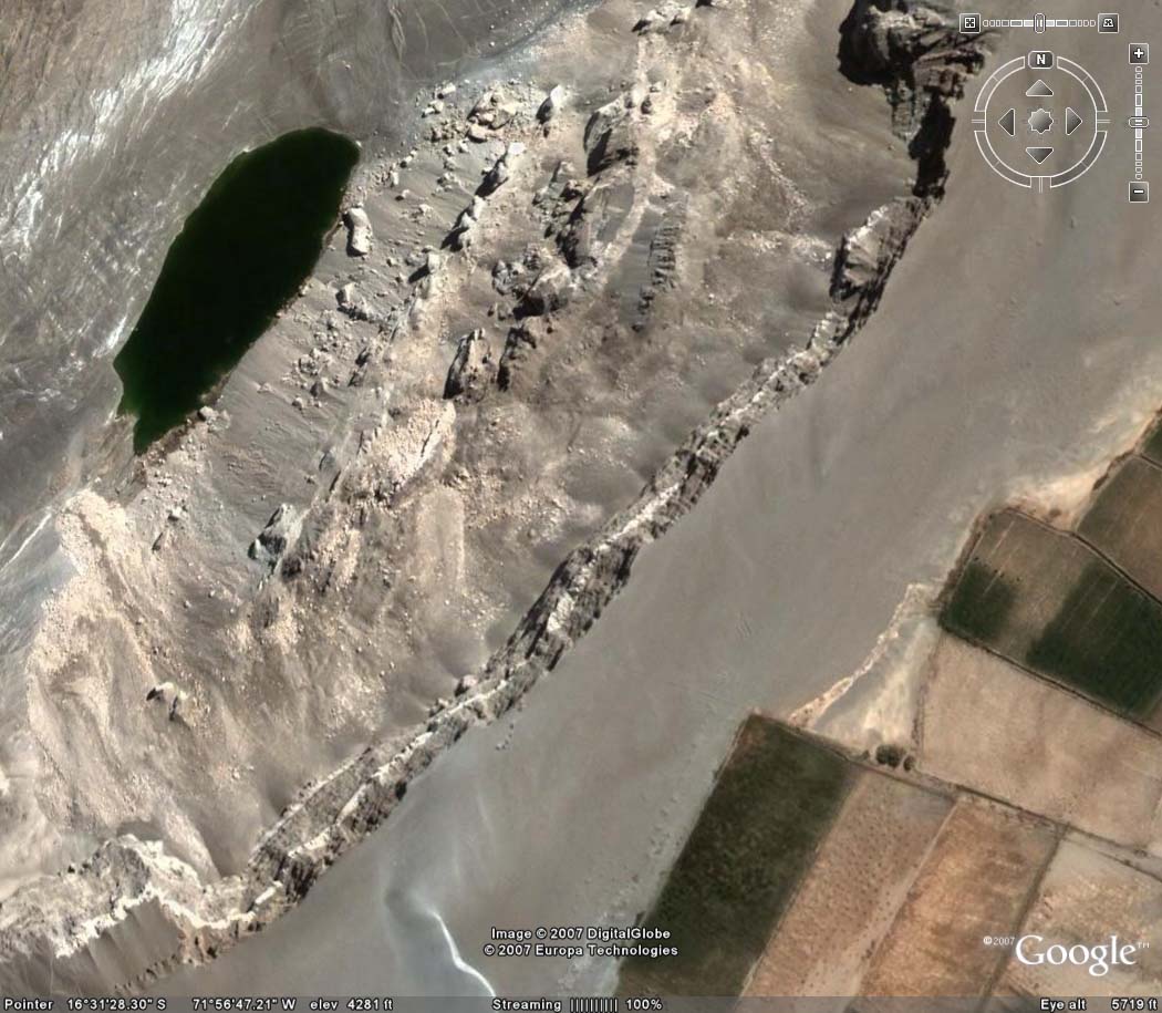
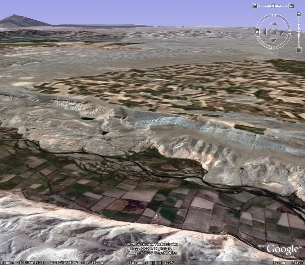
| Aerial view of Vitor valle along La Cano slide zone, with La Cano fields at bottom right. |
|
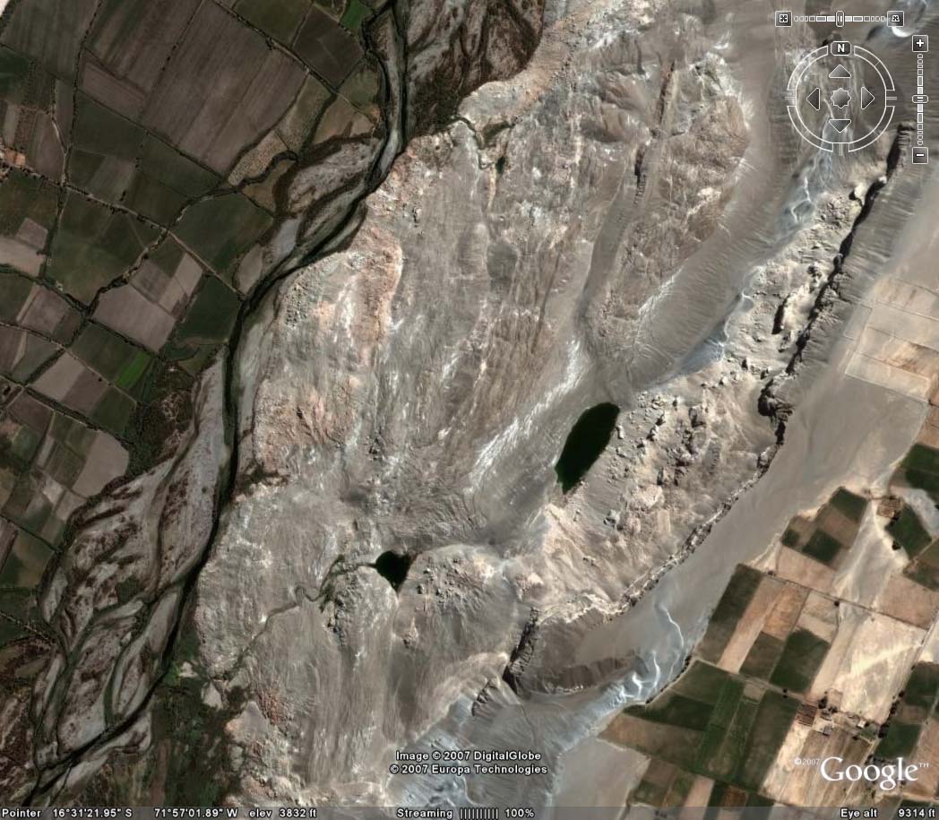
| Detail of La Cano slide zone, showing two lagoons on slope. |
|
| Detail of La Cano slide zone, showing lagoon on top left and agricultural fields on bottom right. |
|
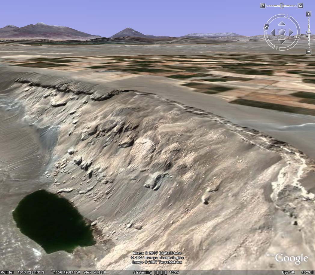
| Panoramic of La Cano slide zone, showing lagoon on bottom left and irrigated pampas on top right. |
|
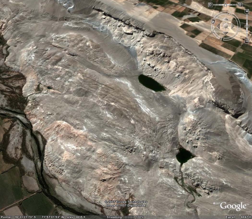
| Closeup of La Cano slide zone, showing river on bottom left, lagoons on center right, and irrigated pampas on top right. |

|
| Closeup of La Cano slide zone, showing river on bottom left, lagoons on center right, and irrigated pampas on top right. |
|
| Closeup of La Cano slide zone, showing river on bottom center left, lagoons on right, and irrigated pampas on top. |
|
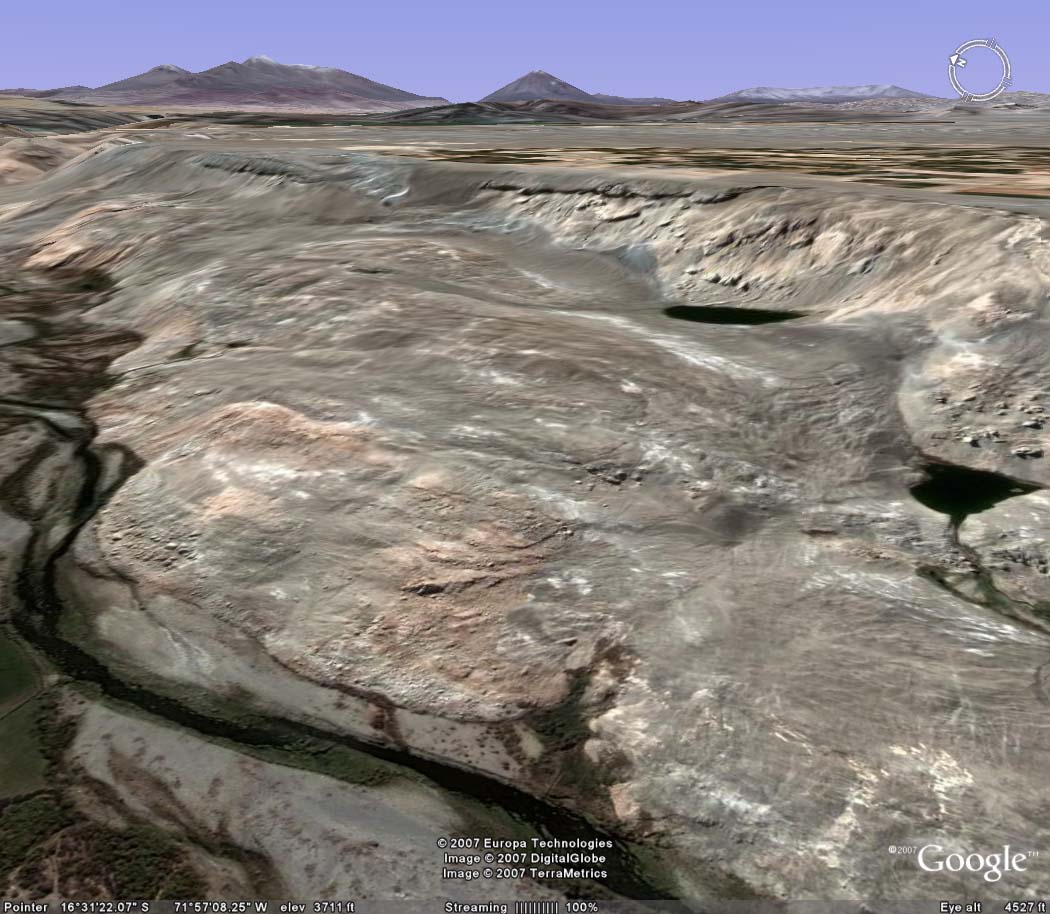
| Side view of La Cano slide zone, showing river on bottom, lagoon on center top, and irrigated pampas on top. |
|
| Side view of La Cano slide zone, showing river on bottom, lagoon on center top, and irrigated pampas on top. |
|
| Side view of La Cossío slide zone, downstream of La Cano. |
|
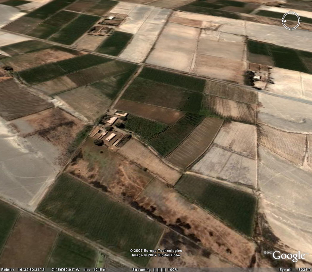
| Irrigated fields in La Cano. |